Overview
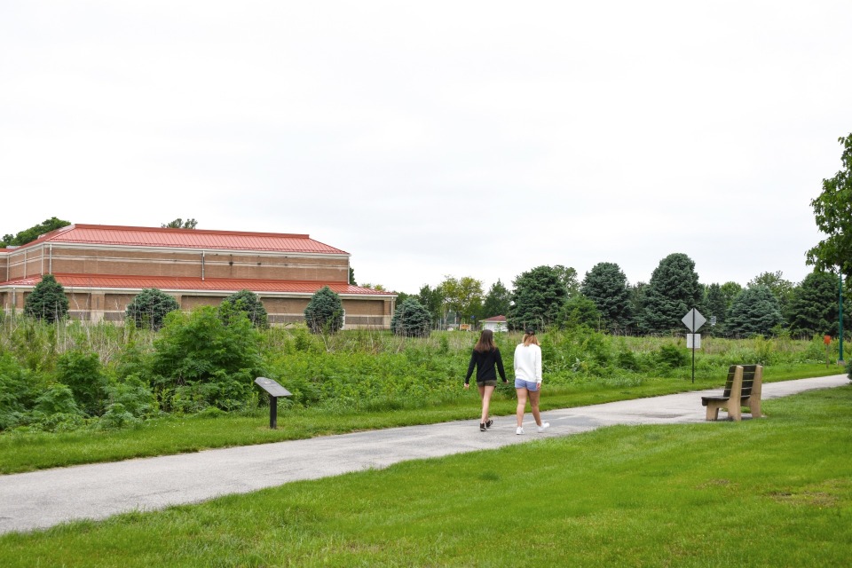
The Railroad Highway Multi-Use Trail provides a safe place away from vehicular traffic for bicyclists.
The trail is undergoing phases to expand the trail to connect all the towns in Pottawattamie County, including Council Bluffs which would also connect the trail to Omaha's trail system.
The first trail section constructed is along Railroad Highway on the northeast edge of Council Bluffs towards Weston, Underwood, and Neola. Construction began near the Smith Wildlife Area to County L-34.
Trail Uses
Walking
Biking
Wheelchair Accessible
Biking
Wheelchair Accessible
Length
3.5 milesSurface
PavedRating
ModerateParking
Parking is available at the southern end of the trail at Smith Wildlife Area.